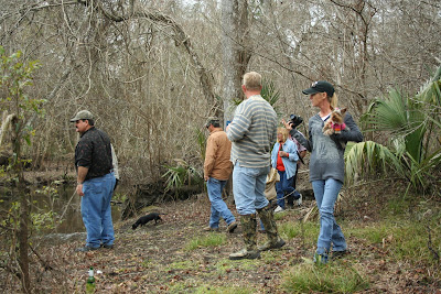
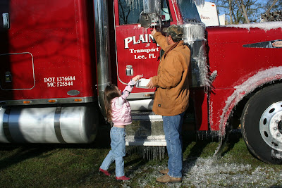
 Mark, Debra, Me, Dale and Sarah went exploring south of Goose Friday afternoon. Please
notice the sign that says "Road Closed To Vehicles" Some how or another we totally missed
seeing this sign. "Honest"
 I believe Mark is the explorer that found this tree. It is really pretty, kinda looks like an Easter Bunny.
Mark, the great explorer, also found this tombstone and toestone. He seems to believe it is for the fallen Indian chief from the "Slap-A-Ho" tribe. I'm not certain, cause Mark lies.

We came to a fork in the road and Dale went exploring on foot for a "better road" This is the better road, which does not say much for the rest of the roads (aka pigtrails).

Dale and Mark are discussing using the "better road" or going back, "better road" lost this afternoon but we conquered it the next day.

Todd and Cheryl joined us on Sat and we were delighted because Todd is a local expert and has a lot of historical knowledge that he is happy to share with us. Cheryl is just plain fun to have around.

We found this area by just wandering around, Todd believes it is Cow Creek.
 Dale is checking out a small spring that feeds this creek. Notice the water stains on the trees, this must have been the water level from the last flooding we had in the summer from one of the hurricanes.
Remember that I said it is great to have Cheryl and Todd. One of the reasons is because it gives "Dennis" someone else to pick on for a change. That smile belongs to "Dennis", not Mark.

This is a great picture of Debra, Pay and Scratch.

This is a rock ledge that was surrounded by several mini holes in the earth with clear, running water. It was just feet away from the point that the Aucilla River and the Wacissa River meet and make their final run to the Gulf of Mexico. After much Internet research this week I have discovered that this area was the site of a major archaeological dig with very interesting discoveries. It is not hard to believe. As we stood alongside the rivers you could feel the energy of the people who had lived here hundreds and maybe thousands of years before.
 We were just arriving at the site and everyone was excited.
 This area was so intriguing to me. I decided I would walk alongside the Wacissa River while everyone else talked for awhile. I planned on meeting them back on the logging tram very shortly. However, it was so pretty and there was so much to see that I just kept walking and before I knew it I was really lost. Guess I could have stayed under this tree if worse came to worse.
While I was walking I heard a loud splashing in the river, I thought I had frightened a deer into the river but found out it was Mullet jumping. You can see the ripples in this pic. That is a loud sound when you are alone.

I found this very interesting rock, it was really large and on the left side it had alittle arm that pointed straight to the Wacissa. If you look closely enough thru the trees you can see the river. Mark wanted to know where it was later, like I know..... I was as lost as a fart in a whirlwind, how would I know where the hell it is!

Beautiful island in the river. Look at the sand on the bottom, that is some clear water.


